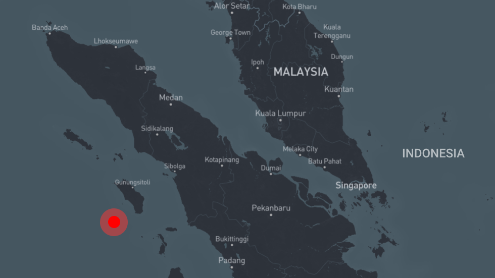
A 5.9-magnitude earthquake has been recorded close to the northwestern Indonesian island of Sumatra, the US Geological Survey said on Monday. Initial reports indicate the quake struck at a depth of 6.4km (four miles).
Indonesia’s Meteorology, Climatology, and Geophysical Agency reported the quake as measuring 6.2-magnitude, adding that no tsunami alert has been issued in its wake.
Continue reading https://on.rt.com/bjz0

